Case Study
Subsurface radar imaging of an historic ‘receiving tomb’
Calvary Catholic Cemetery in Saint Paul, Minnesota is one of the oldest Euro-American cemeteries in the region. It was established in 1856 and remains in operation today.
Archaeo-Physics performed a ground penetrating radar survey at Calvary Cemetery to map a subsurface ‘receiving tomb’ or winter storage vault where the deceased would have been stored for Spring burials. The receiving tomb was rumored to exist beneath the site of a chapel that had been demolished in the early 20th century. It was located on a small knoll within a traffic circle that faces the main gate within the cemetery.
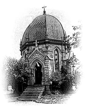
Historic photograph of the chapel above the receiving tomb as it existed in the 19th century. 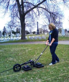
Ground prenetrating radar survey in progress. 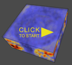
Animated view of a 3d model of the GPR data.
The GPR survey detected not only the foundation of the chapel, but a below-ground structure much larger than the chapel itself. Three-dimensional imaging of the radar data shows a circular domed structure approximately 45 feet in diameter and interesting details of its construction.
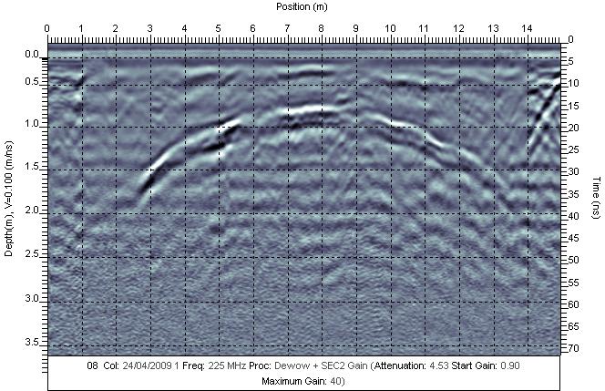
The site of the chapel was surveyed with the GPR along closely spaced parallell transects, then re-surveyed with a transect orientation at right angles to the first. This results in a very high data sample density, which results in higher resolution. More importantly, detection is improved in a bi-directional survey by the different orientation of the transmitter/receiver antennas, as the response of underground targets can vary depending on the relationship between target geometry and antenna orientation. When the data produced by the two surveys are merged, a more complete picture of subsurface structures is formed than in either of the separate datasets alone.