Archaeo-Physics, LLC uses a variety of geophysical methods for archaeological prospection. These include magnetometry, electrical resistance, ground penetrating radar, electromagnetic conductivity, magnetic susceptibility, and LiDAR data processing and analysis. These are non-invasive methods for high-resolution mapping of archaeological features and patterning. Our services also include laboratory analysis of physical samples, subsurface testing, and geospatial analysis. These methods can also be applied to non-archaeological applications such as forensic and environmental surveys, grave location, and cemetery management.
As a specialist consultant, we work closely with our clients in all aspects of archaeological prospection:
Feasibility assessment
Not every problem in archaeology has a geophysical solution. Many factors must be considered, including: research goals, the nature of the archaeological record, environmental setting, logistics, and funding. Achieving consistently good results is largely depends on accurate assessment of basic feasibility. We will advise clients against undertaking surveys that are unlikely to be successful or cost-efficient.Integrated research design
Ideally, geophysical methods are considered from the inception of a research project. An integrated approach uses geophysics to effectively address research questions. The unique information that geophysics provides may also broaden the scope of questions that can be addressed and suggest new directions for research.Reducing impact to cultural resources
Because geophysical surveys are non-invasive, they are an important tool where preservation is a primary goal. Culturally sensitive sites may be assessed without impact, and subsurface investigations can be carried out with minimal invasive exploration.Cost efficiency
Aside from the unique nature of the data that can be gained, geophysical survey can also lower the cost of research. Survey results can be used to strategically target data recovery efforts, minimizing exploratory excavation and associated analysis and curation.Site specific approaches
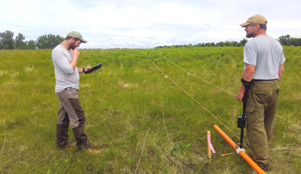
Success is dependent on methodologies and interpretation that are adapted to the unique cultural and environmental contexts of each site.Data collection
High quality data is assured by experienced operators and careful quality control. Cost-efficiency results from speedy collection of useful data. Thorough planning is critical, as are operators who can work efficiently and adapt to sometimes unexpected conditions on the ground.Meaningful cultural interpretation
Interpretation demands an understanding of the archaeological record and of its geophysical expression, integrating the insights of the archaeologist with those of the geophysicist. It is also an ongoing process that is informed by subsequent testing and excavation.Accurate spatial control
Precise, repeatable, geographically referenced spatial control is critical. At all levels of investigation and for posterity, this can hardly be taken too seriously.Reporting of results
Reporting of geophysical survey results must address specific research questions, presenting relevant interpretations and recommendations. In-progress results can often be made available during fieldwork, and targets can be marked on the ground for testing or excavation. Formal reporting includes technical information to help understand survey results, maps and interpretive graphics, comprehensive interpretations, and specific recommendations for testing and further investigation. Survey data are provided for archival purposes and for use as GIS layers.Post survey support
Ongoing support includes: guidance in efficient testing and excavation, continuing interpretation, and collaboration on papers and publications.
Whitepaper series:
- Archaeological geophysics a brief overview for archaeologists
- Integrating geophysical methods in archaeology optimizing research designs and cost-efficiency
- Survey logistics and site preparation
- Interpretation an overview of the interpretive process, locating features in the field, and effective testing of interpretations
- Archaeological site management preserve important cultural data by maintaining good conditions for geophysical survey